Photo: NASA/Butch Wilmore via NASA · Public Domain
Satellite positioning works remarkably well under open skies, but it struggles as soon as a vehicle enters a tunnel, an underground car park or a warehouse. The reason is physics: GNSS signals travel more than 20,000 kilometres before reaching a receiver, and they arrive very weak. A new generation of low Earth orbit satellites aims to close that gap, and it has already delivered its first results in an indoor test.
Why traditional GPS fails indoors
GPS satellites orbit at roughly 20,200 kilometres. At that distance, the signal reaches the ground with very little power: enough for a receiver with a clear view of the sky, but easily blocked by roofs, concrete walls or metal structures. That is why positioning becomes intermittent or inaccurate in dense cities, tunnels and logistics hubs. Galileo, GLONASS and BeiDou share the same limitation, since they all operate in medium Earth orbit.
A low-orbit constellation: the Pulsar approach
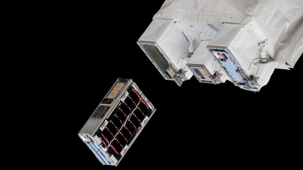
As reported by Xataka, Xona Space Systems is developing Pulsar, a navigation system that transmits from around 1,080 kilometres, almost twenty times closer than GPS. Because the signal travels a shorter distance, it arrives with more power. In a test with a single experimental satellite, Pulsar-0, an antenna placed inside a building collected measurements as the satellite passed overhead and estimated a position with a horizontal error of 38.7 metres, while a comparison GPS receiver failed to acquire any signal. When the algorithm started from a nearby initial estimate, some measurements came down to errors of 0.6 to 3 metres.
The next milestone is an initial batch of six production satellites, scheduled for October 2026, which will first provide intermittent coverage to timing and synchronisation customers. Continuous global service will require hundreds of satellites, as well as compatible receivers.
A complement, not a replacement: what it means for fleets
The right reading is that these constellations complement existing GNSS systems rather than replace them. For fleet management, combining several positioning sources promises fewer «jumps» on the map, better continuity through tunnels and dense urban areas, and greater accuracy in loading yards and covered warehouses. There is still a long way to go: more satellites visible at the same time, wider coverage and adapted hardware. Even so, it is a clear sign of where the infrastructure behind real-time tracking is heading.
While that technology matures, well-installed 4G GPS devices and a reliable platform remain the foundation for controlling your fleet. Learn more at www.esencialgps.cl.
Based on data from Xataka.